![Another Cold Snap And Winter Storm Janus For Northeast [VIDEO]](http://townsquare.media/site/42/files/2014/01/84208259.jpg?w=980&q=75)
Another Cold Snap And Winter Storm Janus For Northeast [VIDEO]
We all learned a new term a couple of weeks ago, "Polar Vortex", when that extreme cold weather hit and stayed. We've got another cold snap going now in central New York, and one more on the way, but apparently the "Polar Vortex" isn't the blame. Here's more.
According to weather.com:
"Another Shivering Week Ahead Tuesday, the heart of this cold air mass will grip areas from the eastern Dakotas across the middle and upper Mississippi Valley, the Great Lakes, the Ohio Valley, and the Northeast. These regions will see temperatures 10 to 25 degrees below average, right during the climatologically coldest time of year.
Looking beyond the workweek, we will see even more frigid air pour in from Canada this coming weekend into early the following week (Jan. 25-28) across parts of the Upper Midwest, Great Lakes and Northeast. However, as you would expect this far out in time, details on how this potential cold blast would compare to the one in early January are very uncertain."
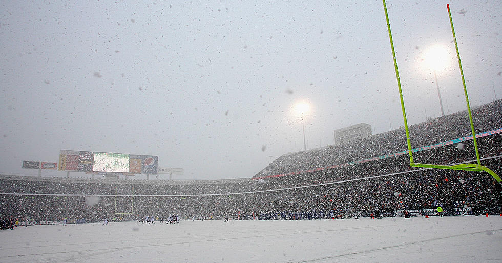
And if that isn't enough, the Northeast is in the midst of Winter Storm Janus, which could bring significant snow along the eastern seaboard including New York City and Boston. Here's the full story:
More From 96.1 The Eagle


![Winter Weather Info With ‘Greg On The Go’ [VIDEO]](http://townsquare.media/site/42/files/2014/12/FullSizeRender41.jpg?w=980&q=75)
![Central New York Winter Storm Euclid [Photos]](http://townsquare.media/site/40/files/2012/12/TheWeatherChannel.jpg?w=980&q=75)

